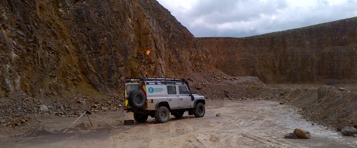
Geophysical methods are used widely in the search for and exploitation of many types of economic deposit, from hydrocarbons and evaporites through to lead and copper.
Geophysical logging of drilled holes can provide invaluable information on quality and quantity of many economic deposits, such as many metals, coal and lignite, gypsum, halite, potash and other evaporites, clay, limestone and marble.
Important geotechnical and hydrogeological information can be provided by geophysical investigations which can be of prime importance in mine planning and dewatering.
Detailed rock analysis is available allowing orientation of discontinuities, such as fractures and bedding.
Rock density, porosity and strength can also be determined before mine construction begins. Aquifers and zones of water movement can also be determined. Geophysical logging provides vital information for lithological identification and correlation across the site.
We are using cookies to give you the best experience on our website.
You can find out more about which cookies we are using or switch them off in settings.
This website uses cookies so that we can provide you with the best user experience possible. Cookie information is stored in your browser and performs functions such as recognising you when you return to our website and helping our team to understand which sections of the website you find most interesting and useful.
You can adjust all of your cookie settings by navigating the tabs on the left hand side.
Strictly Necessary Cookie should be enabled at all times so that we can save your preferences for cookie settings.
If you disable this cookie, we will not be able to save your preferences. This means that every time you visit this website you will need to enable or disable cookies again.
This website uses Google Analytics to collect anonymous information such as the number of visitors to the site, and the most popular pages.
Keeping this cookie enabled helps us to improve our website.