Geotechnical
Geotechnical Engineering
Fracture detection and analysis are essential components of geotechnical, hydrogeological, and geological investigations.
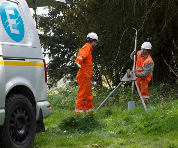
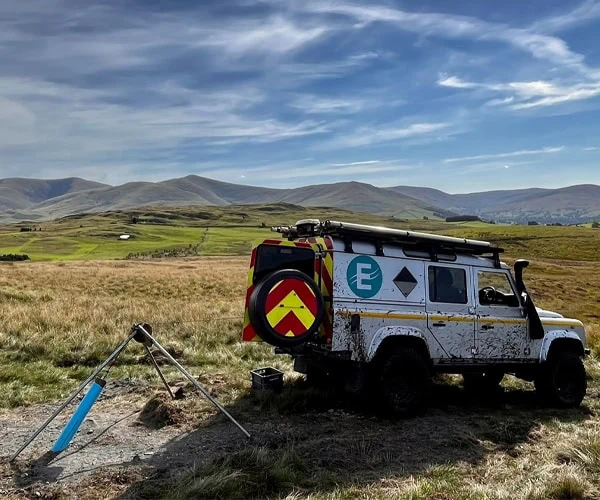
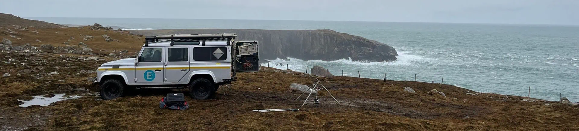
European Geophysical Services has extensive experience providing borehole geophysical and imaging services for major engineering and infrastructure projects, including inshore developments and remote or challenging sites.
Our services focus on the detection, orientation, and size analysis of fractures, which are critical for understanding subsurface conditions.
Optical and Acoustic Imaging
Our imaging tools provide detailed visual and acoustic data of borehole walls to support geotechnical investigations:
Processing and Presentation of Results
Imager data is processed into detailed logs and visual formats:
- Unwrapped Borehole Wall Images: Presented with horizontal scales marked at 0°, 90°, 180°, and 270°.
- Structural Feature Identification: Features are identified and colour-coded: blue for fractures, red for bedding/fabric features, and green for veins.
- Tadpole Plots: True azimuth and dip of discontinuities are calculated and presented in “tadpole” plots for easy interpretation.
- Additional Visualisations: Rose diagrams and stereo-nets of discontinuities are available to provide comprehensive structural analysis.
The processed data can be delivered in various electronic formats, ensuring seamless integration into project workflows.
European Geophysical Services combines advanced technology, proven methodologies, and extensive experience to deliver reliable data for geotechnical applications. Whether supporting major infrastructure projects or addressing complex geological challenges, our tailored solutions help clients make informed decisions with confidence.